
Interactive Parcel Map
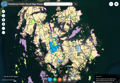 The Vinalhaven Public Parcel Map viewer is intended to allow users to search and view property-related information and mapping for the Town of Vinalhaven. In addition to viewing property information, this viewer also allows users to view Town zoning, FEMA flood zones, and more.
 To use the Map, click this link. For a brief tutorial, you can watch the video below explaining how to use the Map.
The Map is for assessing and general reference purposes only. The Town of Vinalhaven shall not be held liable for discrepancies in land conveyance based on the content of the Map and overall application.