
Monitoring Station Project + VinalhavenWeather.com
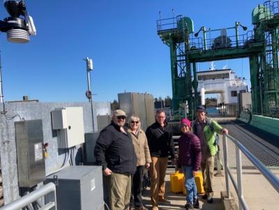
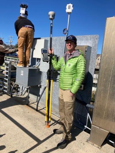
The Vinalhaven Sea Level Rise and Climate Committee has installed an electronic weather and sea-level monitoring station on the Vinalhaven ferry terminal dock with another location at the airport. This station's data is stored long-term, and publicly available to any interested party at VinalhavenWeather.com
The stations together collect the following data:
- Actual ocean height at the terminal
- Ocean temperature
- Wind speed
- Wind direction
- Air temperature
- Humidity
- Barometric pressure
- Precipitation
- Visual feeds from two cameras located to give good views of incoming traffic into the Vinalhaven harbor and the other of traffic in the harbor itself.
While the Vinalhaven SLR and Climate Committee has an abiding interest in the continual gathering of precise sea-level data at this spot, much of the information, we also believe, will be valuable to others, including the lobstering and recreational boating community, ferry passengers, and ferry service workers. It is of particular importance to note that this project was funded entirely from grants made to the SLRC Committee by three non-profit sources and that none of the funds were obtained from the municipality or taxes. The three major funders of the project were: Island Institute, Gulf of Maine Research Institute, and Vinalhaven Land Trust.