
Citizen Science Projects
Monitoring Station Project
The Vinalhaven Sea Level Rise committee is currently in the final stages of installing and implementing an electronic weather and sea-level monitoring station on the Vinalhaven ferry terminal dock. When complete, this station's data will be stored long-term, and made publicly available via the internet to any interested party.
To learn more visit the Monitoring Station Project page.
TideTrackers
A Vinalhaven School & Community Citizen Science Project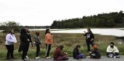
TideTrackers is a project of the Vinalhaven Sea Level Rise Committee and the Vinalhaven School with assistance from Knox County EMA. The project monitors the height of water at this and other flood-vulnerable locations on the island.
Each month during the highest tides and weather events, volunteer "Tidetrackers" – students and community members – photograph and measure the height of water above Mean High Water (MHW**). Extreme high tides are problematic, causing roadway flooding, ferry cancellations, and erosion. **Mean High Water – the average of all the high water heights observed over the national Tidal Datum Epoch (currently 1983-2001) NOAA Tides and Currents
The data collected by the TideTrackers is used to help inform municipal decisions, secure grant funds, and engage the community.
To learn more visit the TideTrackers page.
Ecosystem Investigation Network – Coastal Flooding, Storms and Sea Level Rise
In partnership with GMRI. Coming Soon!